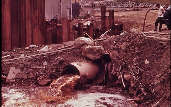
October 18 marks the 46th anniversary of the passage of the Clean Water Act. That’s a long time, and it can be difficult to remember just how bad things were on some of Maine’s rivers before the Clean Water Act forced pollution to be cleaned up. We’d like to remind you how far we’ve come.
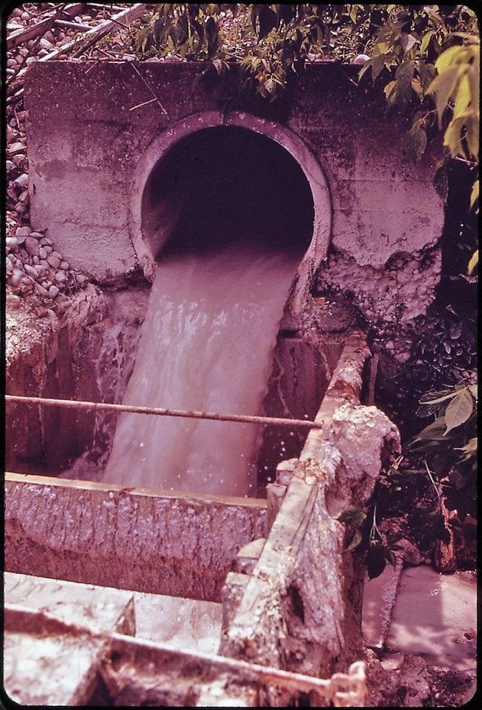
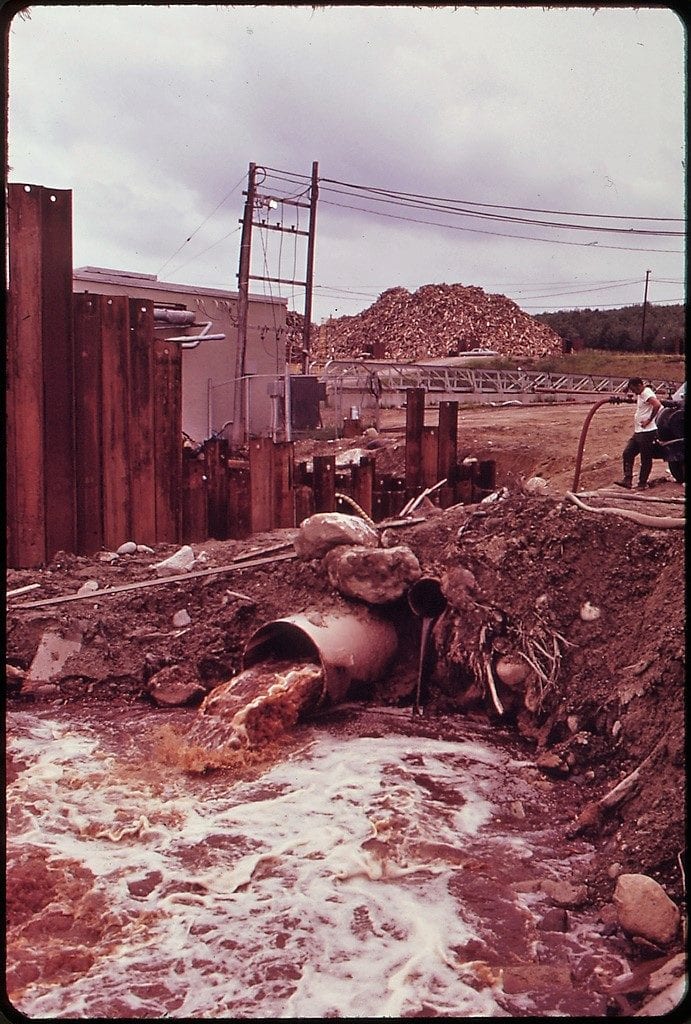
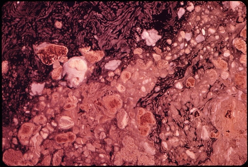
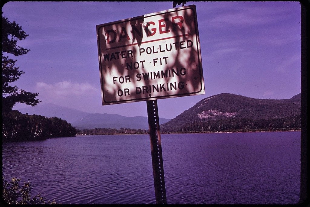
Between 1971 and 1978, the Environmental Protection Agency hired freelance photographers to document national environmental problems as part of the DOCUMERICA project. In 1973, less than a year after the Clean Water Act was passed but before it was implemented, the EPA sent Charles Steinhacker to Maine in order to photograph water pollution from mills along the Androscoggin River. The rank condition of this river inspired Maine Senator Ed Muskie, from Rumford, to spearhead the passage of the Clean Water Act.
Here are some of the images taken by Charles Steinhacker in June 1973, available from the National Archives.
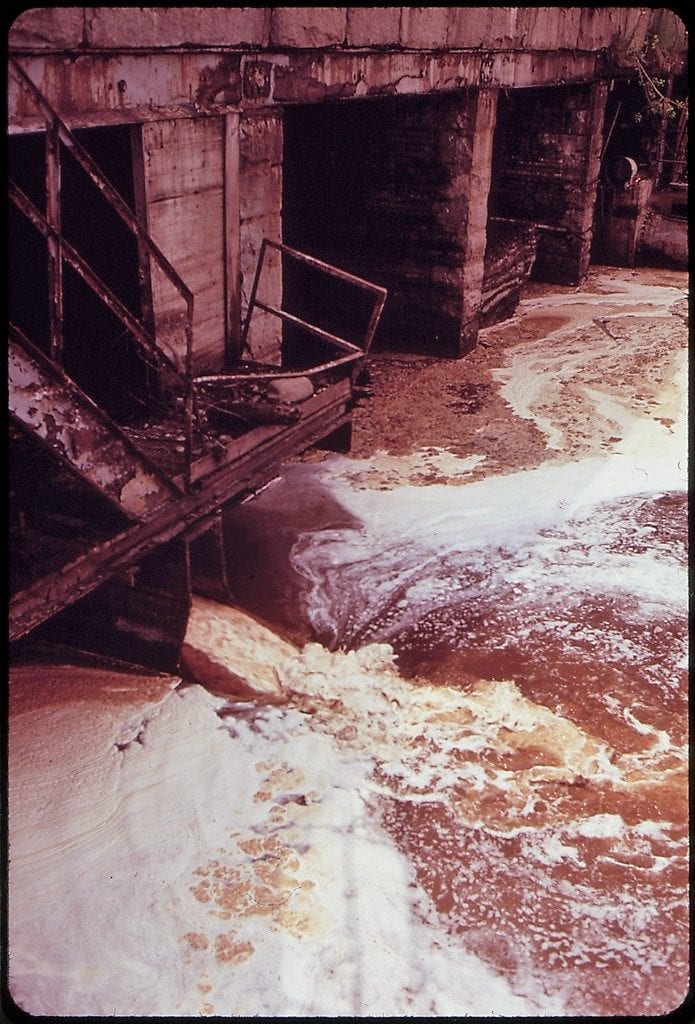
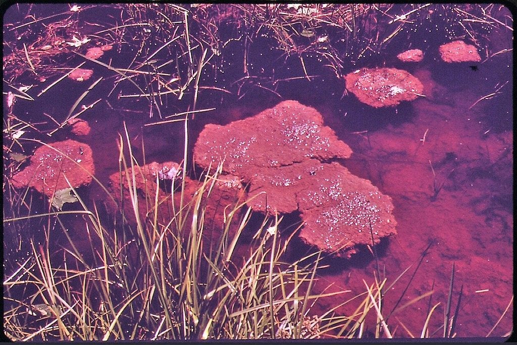
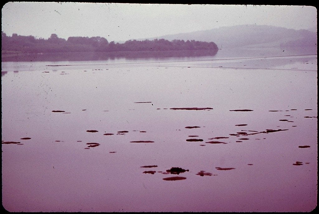
The Androscoggin River has rebounded dramatically in the 46 years since the Clean Water Act was passed, and now supports fishing, boating, and swimming. It’s still an industrial river with much room for improvement, but the awful scenes caught by Charles Steinhacker are a distant memory thanks to Ed Muskie and the Clean Water Act.
